
CREATIVE AND TECHNICAL SERVICES
Drone services in Berks County, PA.
Showcase a place. Document its condition. Follow its progress.
Find your serviceAerial photo & video Real estate Agency footage Storm documentation Roof imaging Construction progress Drone classes
Drone C.A.T.S. provides professional aerial photography, drone videography, and property documentation in Reading, Sinking Spring, and across Berks County, Pennsylvania. Scott Hertzog combines his photography background with the care of an FAA Part 107 certificated commercial drone pilot.
Aerial photography & drone videography
Show the setting and scale of a property, landscape, or business with imagery from above. Aerial views can help tell a story, introduce a location, highlight an outdoor project, or add context to ground-level photography.
We’ll plan coverage around your audience and how you intend to use the finished images, whether for a website, marketing materials, presentations, or a personal collection. Photo and video deliverables are agreed upon before the project begins.
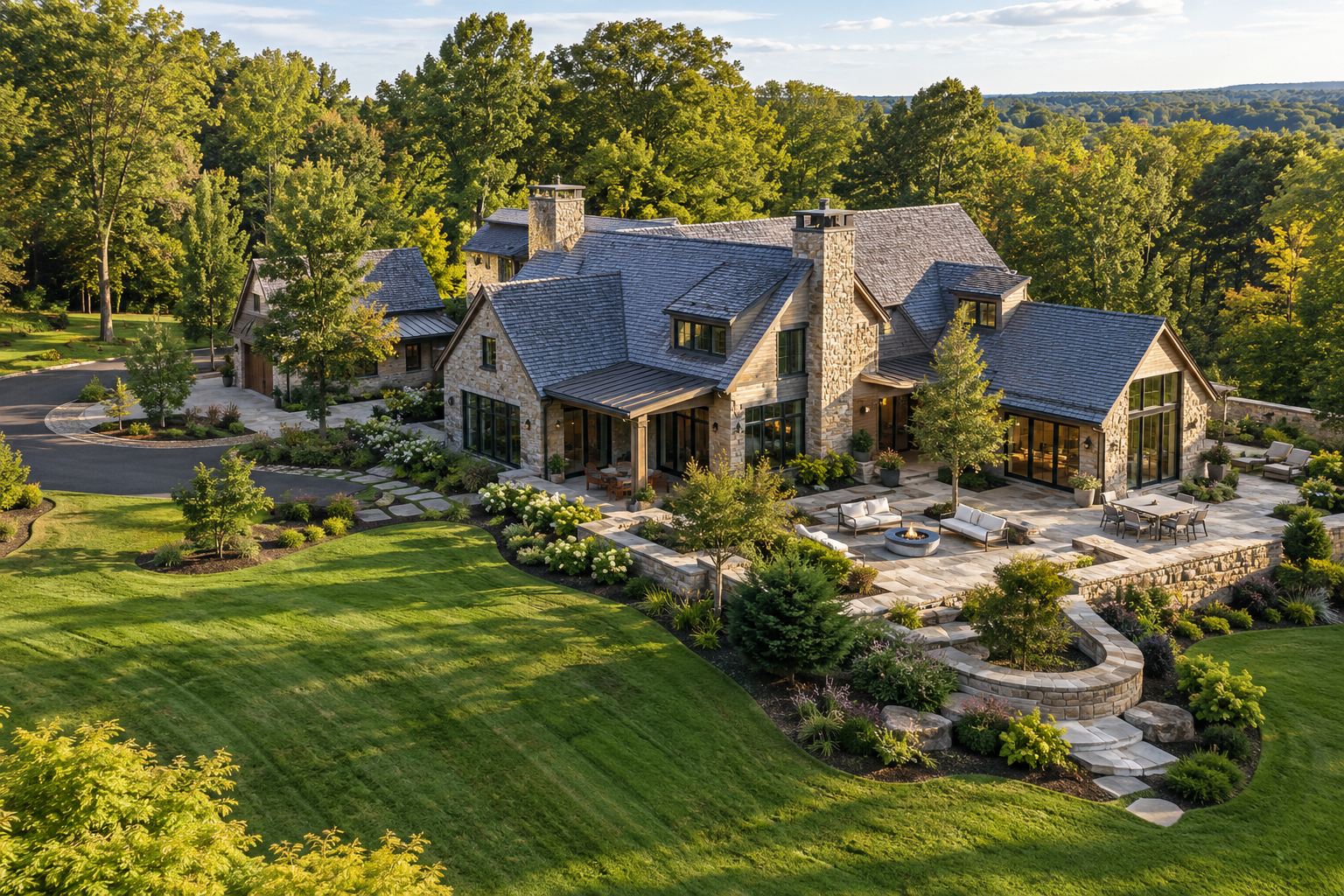
High-end real estate drone photography
Present exceptional properties with aerial photography and video that show more than the building. Drone C.A.T.S. captures the relationship between a home, its grounds, outdoor amenities, and surrounding landscape—helping buyers understand the setting and scale.
We work with real estate agents and property owners to plan viewpoints around the features that make each listing distinctive. Drawing on Scott Hertzog’s photography background and connection with Scott Hertzog Photography, each project begins with a discussion of your marketing goals, intended use, and photo or video deliverables.
Cinematic drone footage for agencies & production teams
Aerial footage should serve the creative brief and fit the workflow that follows. Drone C.A.T.S. works with advertising agencies and production teams to create footage with the edit, grade, and final presentation in mind.
Scott’s photography background and experience shooting D-Log bring attention to exposure, composition, camera movement, and the flexibility needed in post-production. The conversation can go beyond “get a drone shot” to shot lists, screen direction, usable shot duration, and the coverage your editor needs to build a sequence.
Scott coordinates frame rate, shutter settings, white balance, and the choice of recording profile with your production’s other cameras to support a consistent starting point for the edit and grade. Controlled flight paths and deliberate gimbal movements create smooth, cinematic shots with usable starts, holds, and finishes.
Before the flight, we’ll discuss resolution, frame rate, recording profile, and your intended color workflow. That includes how technical LUTs will be used for color-space conversion, how creative LUTs communicate a look, and whether the handoff calls for original log footage, viewing references, or another agreed deliverable.
Bring your brief, reference frames, and post-production requirements. We’ll plan the aerial coverage around your story and the people finishing it.
Drone photography for storm damage documentation
Create a visual record of visible property conditions following a storm. Aerial photography can provide an overview along with views of elevated areas that may be difficult to photograph from the ground.
The resulting imagery can support conversations with contractors, property managers, and insurance representatives. It documents visible conditions; it does not establish the cause of damage or determine insurance coverage.
Drone roof imaging & property documentation
Get a clearer view of roof surfaces and elevated exterior features without climbing onto the roof yourself. Aerial images can support maintenance discussions, document conditions before or after work, and help communicate concerns to the appropriate professional.
This service provides visual documentation rather than a structural inspection or a diagnosis of concealed problems.
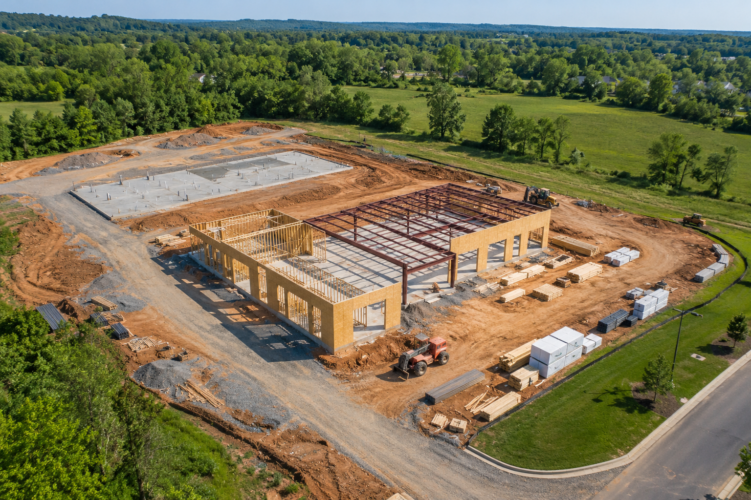
Construction progress drone photography & video
Maintain a visual history as a project develops. Aerial photographs and video can help owners, builders, and project teams communicate changes, share updates, and look back at important stages.
We’ll discuss useful viewpoints and a coverage schedule suited to your project, from site preparation through completion. Repeat coverage can help make changes easier to compare over time.
Beginner drone classes & flight instruction
New to drones? Learn aircraft controls, FAA rules, airspace, weather, safety checklists, photography, and cinematic video in approachable beginner classes with Scott. Explore beginner drone classes and join the interest list →
How a project starts
1. Tell us your goal. Share the project location, intended use, preferred timeframe, and the areas you want covered.
2. Plan the coverage. We’ll discuss suitable viewpoints, site access, scope, and deliverables before scheduling.
3. Capture with purpose. Flights depend on weather, airspace requirements, and site conditions. We’ll communicate any changes that affect the plan.
4. Put the imagery to work. Receive the agreed photos or video for your project, documentation, or communications.
DRONE C.A.T.S.
Let’s talk about your project.
Contact Scott · 484-525-0152
Sinking Spring, Pennsylvania